UAV Drone Surveys For Open-Pit Mining
31st March 2026 fayemediastreet Mining Survey News
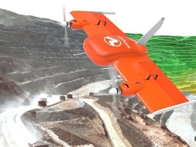
The mining industry has witnessed a remarkable shift in how surveying operations are conducted over the past 10-20 years, with UAV (Unmanned Aerial Vehicle) drone technology leading the charge. For open-pit (or open-cast surveys) mining operations worldwide, drone surveys have moved from experimental technology to essential operational tools, delivering unprecedented…
Stockpile Volume Surveys – Why Accuracy Matters For Mine Operators
16th March 2026 Peter Merrett Mining Survey News
Knowing exactly how much material sits on your site is essential to running a profitable mining operation. A professional stockpile volume survey gives mine operators, quarry managers and stockyard controllers the verified data they need to reconcile production records, satisfy auditors and make confident commercial decisions. Yet many operations still…
Innovations in Mobile Mapping for Mining Surveys
30th January 2024 Peter Merrett Laser Scanning, Mobile Mapping
The global shift away from manual skills and further towards machine learning, robotics and mobile mapping technologies means that the mining industry is undergoing a significant digital transformation. A key component of this is mobile mapping, which enables surveyors to maximise the efficiency and effectiveness of their mining projects altogether.…
Underground Laser Scanning For Surveying
17th October 2023 Peter Merrett Laser Scanning, General, Mining Survey News
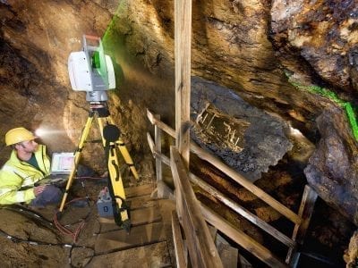
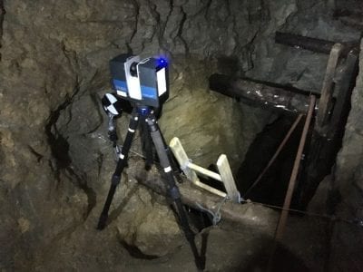
Underground laser scanning for surveying is becoming increasingly popular, with the technology being a preferred method for surveyors to conduct precision surveys with greater accuracy and speed. With the increase in the number of clients asking for laser scanning services, the technology provides complete coverage and 3D viewing capabilities for…
The Benefits Of UAV Surveying Within The Mining Industry
18th August 2023 Peter Merrett General, Laser Scanning, Mining Survey News
UAV surveys are quickly taking the mining industry by storm, due to the extremely advanced laser scanning technology that is embedded into the drones, as well as their small and easily transferable system meaning that we can conduct advanced aerial surveys. UAVs are the technology that is used to conduct…
The Importance of Monitoring Slopes and Tailing Dams
28th November 2019 Peter Merrett Mining Survey News, Laser Scanning
The significance of monitoring the slopes and tailing dams of open cast mines and quarries cannot be underestimated. Recent developments in technology, namely laser scanning, mean that mining survey and slope monitoring teams are able to monitor mines and quarries with greater precision – thereby lessening the likelihood of disasters.…
Underground Laser Scanning Technology – Passes the Test
28th August 2019 Peter Merrett General
Through making use of differing laser scanning technology and equipment, we can capture high accuracy laser scanning data and 3D models that give a full picture of the given area being surveyed. In this article, we will discuss recent examples of how the Merrett Survey Limited team made use of…
UAVs – Drones for Opencast Mines and Quarries
28th August 2019 Peter Merrett General
Unmanned aerial vehicles (UAVs), often called Drones, and their multifarious applications are becoming increasingly accessible and, as such, they can be utilised to great effect during mining surveys. The mining community has been quick to note that the variety of drone applications is growing rapidly, thereby enabling the rapid survey…