mining surveys transport

Infrastructure Surveys


New Mine Infrastructure

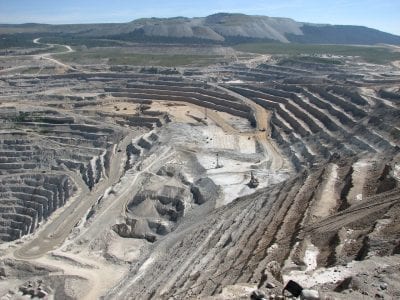
Our survey work has assisted clients in the detailed design of mine access routes via road and rail. Plus, our mine survey services have also helped to inform decisions on the location and design of mine site airfields, ports and loading facilities. Long distance transport of ore via pipeline slurries and conveyor or overhead cable systems will benefit greatly from aerial lidar surveys and ground based surveys for more detailed design.

Get In Touch
 

Existing infrastructure

Are your mine records up to date? Do you manage your mine via 3D visualisation asset management software? Talk to us today about your existing mine infrastructure and your management of it. We can take over at any stage of your mining project, providing the very latest technologies and the most efficient data variables.

Get In Touch

Ready To Get Started?

Get in touch with one of our specialists today

Contact Us


Comprehensive Surface Plans

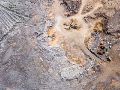
We can deliver thorough surface plans, relating to any type of infrastructure. Our surface maps tend to include:

  • Contours
  • Natural features such as watercourses

All man-made structures:

  • Buildings
  • Roads
  • Fixed plant
  • Powerlines and substations
  • Water storage facilities and pipelines
  • Ore stockpiles
  • Waste rock dumps
  • Tailings dams
  • Process plant
  • Rail and ship loading facilities

Contact us if you wish to discuss our surface plans and maps services in greater detail and see how they can impact the planning and execution of your project.

Get In Touch
 

Surveys for Underground Mining Infrastructure

Our surveys can map all the shafts, declines, crosscuts, ore passes, underground crusher and more. Merrett Survey can rapidly map and survey underground installations such as shaft stations, ventilation infrastructure (fans and doors), sub-stations, electrical and water distribution networks, workshops, explosives storage areas, underground storage tanks.

By accurately relating above ground surface detail to the underground plans, Merrett Survey can assist with prevention of inadvertent undercutting of installations and unplanned intersection of workings. It is important to know the positions of all points underground relative to every place on the surface, particularly for management of emergency situations and rescues.

Get In Touch

Find your bespoke survey solution today

Contact one of our specialists

Contact
Contact Us