Our management team is ready to apply their wide ranging experience on your next project. Whether it’s applying any of our mine survey services to give your project greater detail and speed up the time frame or you require advice on the next phase of your mining project, our team is here to help. Contact us today if you have any questions about our experience or how we can help move your mining or quarrying project to the next phase. CVs and information on the rest of our team are available on request. Please see profiles for our core team below.

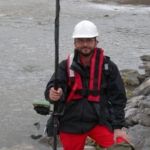
Originally trained as a Mining Engineer, then working in oil and gas and construction industries before starting Merrett Surveys. He has been a tutor on IBRU – International Boundary Research Unit training workshops, presented papers at ILMF – International Lidar Mapping Forum plus pipeline and storage tank conferences.
Senior Survey – our Geodetic and travel expert. Of the 60 plus countries we have worked in, Robert has been to most of them applying his experience in numerous fields including pipelines, powerlines, highways and international boundaries to ensure projects are completed efficiently and to the best quality.
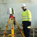
Geospatial Manager – and leader on all aspects of our digital data processing, laser scanning and 3D modelling, seeking out and applying the latest technologies to benefit our client’s projects worldwide.
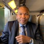
Our Africa Region Manager. Co-Director of Africa Precision SARL, Merrett Survey’s base in Cameroon. Our African experience extends to numerous countries working on aerial surveys, highways, rail, mining projects and international boundaries, such as Nigeria – Cameroon for the United Nations and Malawi – Mozambique border survey, funded by the European Union.