The Impact of Technology
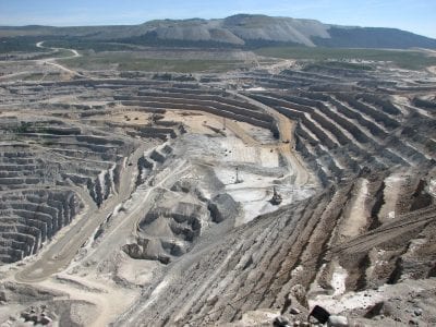
Our opencast mining surveyors are responsible for the accurate measurement of areas and volumes mined, plus providing a precise representation of the surface. Terrestrial laser scanning is often used to observe and report on the spatial changes of mining works. High point resolution and high accuracy laser scans allow for precise measurement, for monitoring of movements and deformations.
We have used vehicle mounted mobile laser scanning systems to observe extremely large sites, in order to report on stockpile volumes. This work was previously carried out by traditional survey methods and the reporting was less accurate and took longer to deliver.
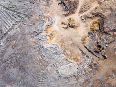
Using UAV’s, we can carry out photogrammetric surveys and produce orthorectified georeferenced imagery, as well as Digital Elevation models (DEMs) – some clients prefer the term DTM (Digital Terrain Model). These DEM’s can be used to derive stockpile volume measurements and to produce topographical maps.
UAV surveys can also monitor change over time and provide asset information. Laser scanners can now be mounted on UAV’s, so it is possible to combine aerial imagery with Lidar data.
Get In Touch